

AryaAir · Built on AryaOS
Airspace awareness where the network ends.
AryaAir tracks both manned and unmanned aircraft, fusing ADS-B, UAT, and dual-band Remote ID into a single common operating picture delivered directly to any TAK end-user device or standard web browser. Deploy it fixed, on a vehicle, or packed by a single operator.
BLUF
Local aircraft, directly in the TAK picture.
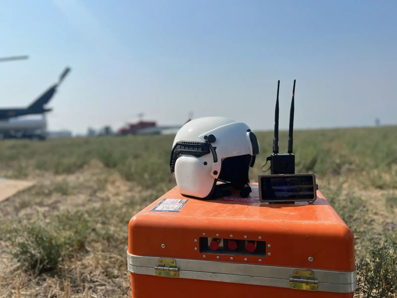
AryaAir works without an internet connection. Power the unit, connect a TAK end-user device or browser, and receive nearby manned and unmanned aircraft tracks over the local network.
Deploy it with an individual operator, a mobile crew, a remote observation point, or a tactical operations center. The same aircraft feed can remain local or be forwarded to a TAK Server.
Primary receiver
What makes AryaAir unique.
- ADS-B receiver
- 1090 MHz (Mode S / Extended Squitter)
- UAT receiver
- 978 MHz
- Remote ID
- Dual-band 2.4 & 5 GHz Wi-Fi + BLE (Open Drone ID)
- RF & antennas
- SWA 1001-087 wideband receive antenna; SWA 1001-343 dual-band receive antenna; 50Ω TNC receive; SMA GPS antenna
- Protocols & standards
- Cursor on Target (CoT), TAK Protocol, GDL90, Remote ID (Open Drone ID), ADS-B, UAT, KML, JSON
- Observed range
- Up to 50–55 miles with the supplied antennas, terrain and installation dependent
- TAK clients
- ATAK, WinTAK, iTAK, TAK Server, TAKX, COPERS, taky, FreeTAKServer, Node-RED
Compute, power & connectivity
The common AryaOS hardware platform.
- Compute
- ARM Cortex-A76 quad-core, 16 GB RAM, NVMe SSD edge compute
- Power & network
- USB-C PD; IEEE 802.3af/at PoE+; Gigabit Ethernet
- Positioning
- 99-channel GNSS; 50Ω TNC receive + SMA GPS ports
- Connectivity
- Standalone Wi-Fi, Ethernet, or Bluetooth to EUD; MANET/IP mesh via COTBridge; backhaul to TAK Server or operations center
- Enclosure
- Standardized portable enclosure, pouch-compatible
Software
AryaOS and the AryaAir gateway stack.
- AryaOS (Linux) with Node-RED and PyTAK
- ADSBCOT and DroneCOT gateways
- GPSTAK and COTBridge browser configuration
- Universal AryaOS features: web UI, GPS spoof/jam detection, mesh routing, mesh node management, OTA upgrades, on-device maps
Typical use
Where AryaAir gets deployed.
- Airspace deconfliction and drone-first-response
- UAS / drone detection and tracking
- Wildland fire and joint land/air operations
Legacy catalog
AirTAK versions preserved from the prior site.
- AirTAK v1 — retired; support remains available by email.
- AirTAK v2 — portable Raspberry Pi 5 case with revised AC and DC power.
- AirTAK Enterprise — metal-enclosure variant for fixed or temporary operations-center installation.
Sensors & Signals
Start with the operating problem.
Tell us what is happening, what information is available, and what decision needs to be made.
Describe the requirement