
Missions
Start with the operating environment.
The same technology behaves differently at a fire, a planned event, and a search. We design around the mission boundary first.
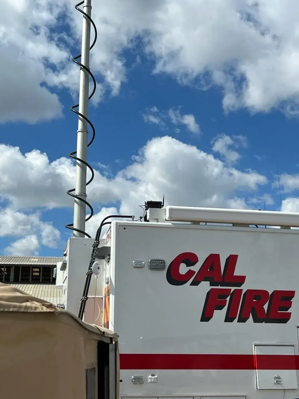
Mission · Wildland fire
Wildfire response
Sensors, aircraft awareness, resilient communications, and TAK integration for agencies working where conditions and connectivity change quickly.
Mission brief →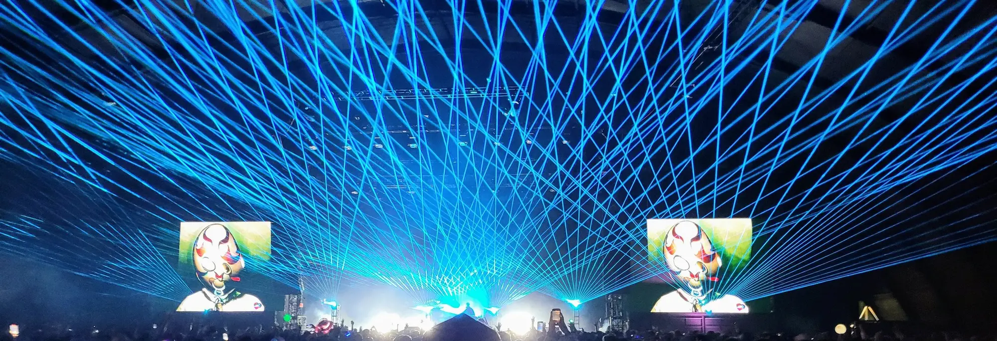
Mission · Planned events
Special events
Shared operational views, temporary sensor networks, airspace awareness, and field support for festivals and large public events.
Mission brief →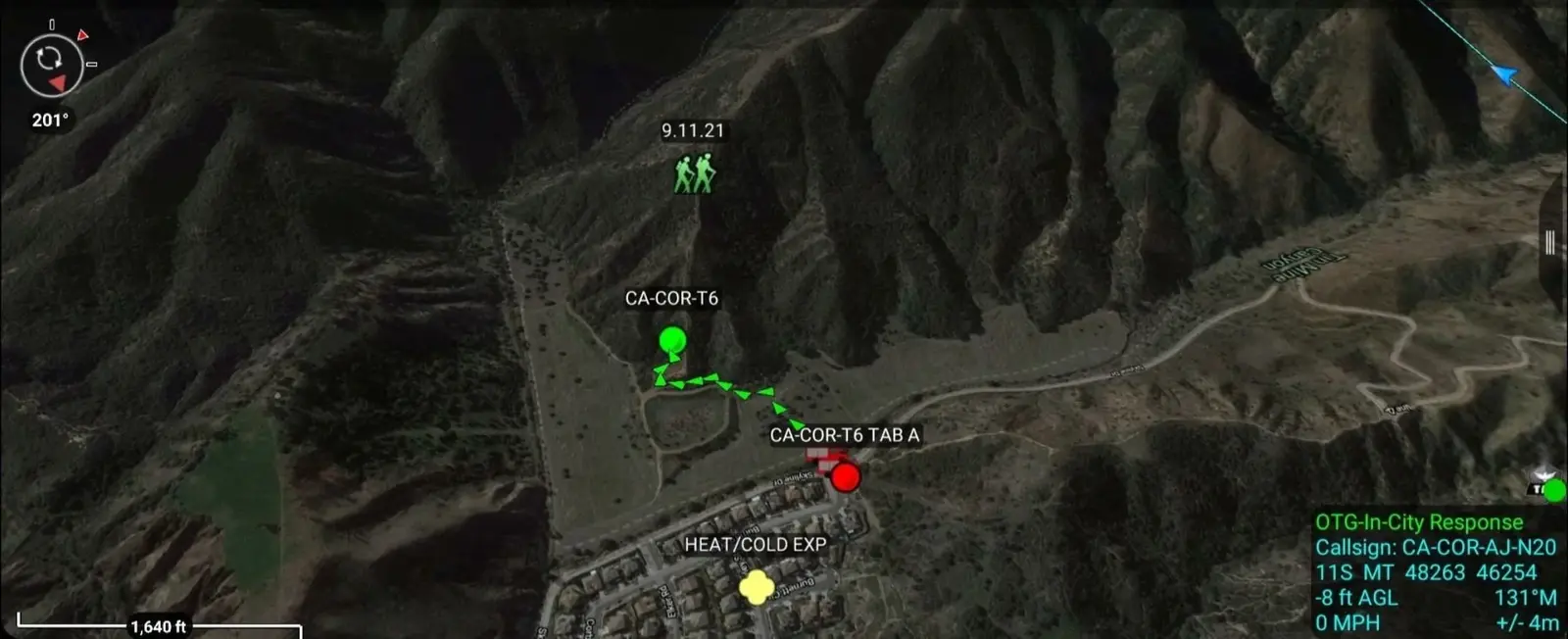
Mission · Search and rescue
Search & rescue
TAK, satellite backhaul, and sensor integration for regional search-and-rescue teams operating across difficult terrain.
Mission brief →